- Year
- 2018
- Type
- Maps
- Link
- hannes.enjoys.it/geo/tag_der_dt_kleinheit
Tag der deutschen Kleinheit
German for “Day of German Smallness”, a pun on Tag der Deutschen Einheit, the Day of German Unity
Exposés for the tiniest land parcels in Hamburg: a tongue-in-cheek real-estate site built from the city's open cadastral data.
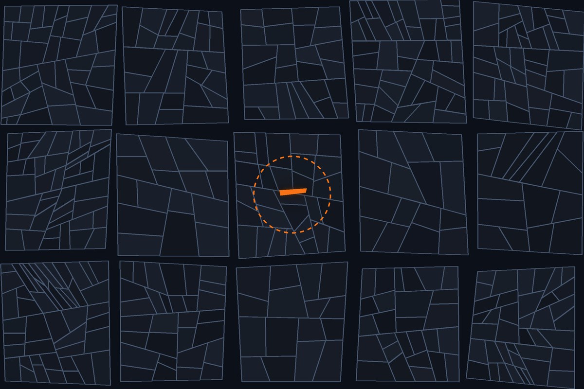
Hamburg’s housing market is overheated and building land is scarce. So on a rainy afternoon of the Day of German Unity in 2018, Hannes Kröger and I went looking for the plots nobody advertises: the smallest parcels in the city’s land register.
Decades of splitting, merging and re-surveying, inheritance divisions and the odd software glitch have left behind a long list of tiny scraps of land, some only a few square metres in size. We presented sixty of them the way an estate agent would: as glossy exposés with an aerial photo, a map and a sales pitch.
Data and method
The project is built entirely on open data from Hamburg’s Transparenzportal: the ALKIS parcel cadastre, 20 cm orthophotos, buildings, administrative boundaries, the street tree register and the cadastre of public green spaces (Datenlizenz Deutschland – Namensnennung 2.0). The two Alster lakes came from OpenStreetMap.
In QGIS we intersected these layers, pulled out the smallest parcels and generated the maps and exposés automatically. It is exploratory data analysis with a wink: many of the micro-parcels are less a quirk of the real world than an artefact of overlaying two datasets.